

Benin
Upper Oueme watershed mesoscale site
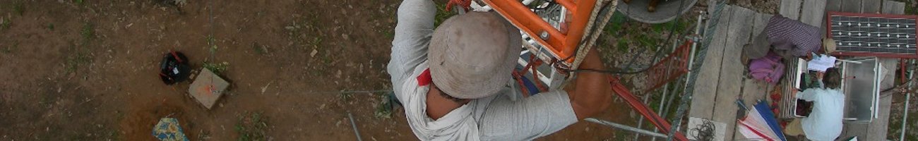
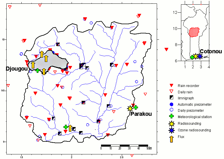
The Upper Oueme catchment (Benin) is part of the mesoscale observation network of the AMMA-CATCH observatory. Various instruments monitor the water cycle and vegetation dynamics since 1997. Their distribution is shown on the map below. An interactive map of the instrument at different scale is available on the AMMA-CATCH database portal.
Its characteristics are as follows :
» Benin : Map of instruments set up on the Upper Oueme catchment
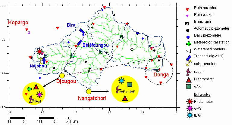
» Benin : Map of instruments set up on the Upper Oueme catchment/ Donga watershed supersite
» Benin : Map of instruments set up on the Upper Oueme catchment/ Nalohou Local Intensive site (cultivated area including crops and fallow)
» Benin : Map of instruments set up on the Upper Oueme catchment/ Béléfoungou Local Intensive site (woodland with Isoberlinia
.
Benin mesosite : Map of the mesoscale >Upper Oueme watershed
Benin mesosite : Map of the Donga Watersehed
The Donga basin covers 576 km². The super site comprises :
- A denser network
- The meteorological radar Xport (2004-2007)
- Characterisation of the sub-soil by geophysical techniques
Benin mesosite : Map of the Nalohou Intensive site
